Storm Watching Safety Guide: Where to Stand, Tide Times and What to Wear
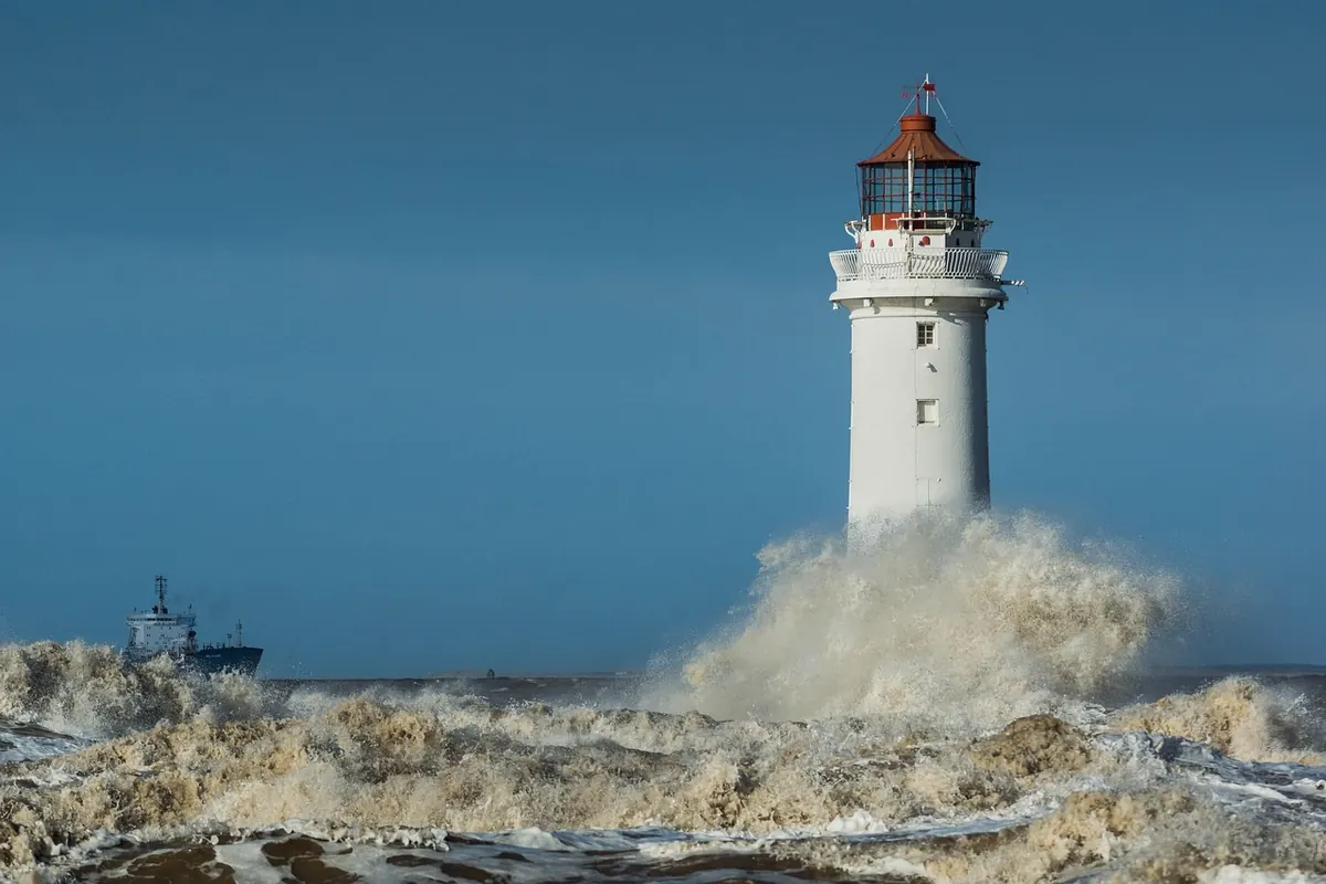
Storm watching is one of the great free pleasures of the British coast. A deep Atlantic low rolls in, the swell stacks up, and a harbour wall that looked harmless at lunchtime starts throwing white water high into the air. It is spectacular, and it is genuinely dangerous.
Most people who get into trouble during a storm are not reckless. They stood somewhere that felt safe, at a moment they had not checked, wearing clothes that soaked through in four minutes. A little planning turns a nerve-racking afternoon into a brilliant one.
Before You Leave the House
Three things decide whether the trip is worth it: the forecast, the tide and the sea state. Check all three before you set off, then check again from the car park. Coastal conditions change faster than inland ones.
- Weather warnings. Met Office warnings for wind and rain tell you how serious the system is. If a red warning covers your stretch of coast, stay home.
- Sea state. A surf or shipping forecast gives wave height and period. Long-period swell means bigger sets arriving with far more energy.
- Wind direction. An onshore wind pushes water against the shore and throws spray much further inland. Offshore winds usually mean a calmer shoreline, though the wind itself can still knock you off your feet.
- Tide time. Note high water for that exact beach or harbour, not the nearest big port. Some places differ by an hour or more.
Tell someone where you are going and when you expect to be back. Take a charged phone in a waterproof pouch and keep it on your person rather than in a bag you might put down.
Choose Your Vantage Point Carefully
The best storm-watching spots share three qualities: height, distance and a solid barrier between you and the water. A clifftop viewpoint with proper railings set well back from the edge, an elevated seafront car park, or the upper part of a harbour town looking down on the bay all work well. You want to be able to retreat without turning your back on the sea.
These places are not vantage points, however dramatic they look:
- Harbour walls, breakwaters and piers, especially the far end
- Wet rocks, slipways, sea defences and ladders
- Steps or ramps leading down to the beach, and anywhere seaward of a wall
- Cliff edges, and the grass strip near them — erosion often means the edge is further back than it appears
- Groynes, and anything the waves can already reach
Reading the Tide and Timing Your Visit
High water is usually the peak of the show and the peak of the risk. The two hours either side of it — and especially around a spring high, when the moon is new or full — is when waves reach furthest up the beach and over sea walls. Low pressure lifts sea level above the predicted tide, and wind-driven surge does the rest. A tide table gives you the astronomical tide only.
Access changes fast too. Tides do not move at one steady speed: the rule of twelfths puts roughly one twelfth of the range in the first hour after low water, two in the second, three in each of the middle hours, then back down again. That means the sea can come round behind you on a beach or across a slipway much faster than your arrival suggested. Note the time you got there, work out when you must leave, and leave earlier than that.
What to Wear (and What to Leave Behind)
Dress for wind and spray, not just rain. A shower-proof coat is not enough on an exposed headland. You want a windproof outer layer with taped seams over warm mid-layers — a fleece under a proper waterproof shell beats one thick coat, because you can adjust as you move between shelter and exposure.
- Grippy footwear. Walking boots or sturdy trainers with deep tread beat smooth-soled wellies on wet tarmac, stone and slipways.
- Hat and gloves. Wind chill at the coast is brutal, and cold hands make you clumsy on steps and railings.
- Nothing loose. Avoid long scarves, flapping coats and dangling hood cords; anything that can catch the wind will.
- Waterproof trousers if you plan to stand out for more than twenty minutes. Spray gets everywhere.
- A dry bag or rucksack liner for spare gloves, a flask and any camera kit. Salt spray ruins lenses and electronics.
- A head torch in winter, plus something high-vis if you will be crossing a road or car park in the dark.
Standing, Watching and Moving Safely
Face the sea. It sounds obvious, but turning your back to take a photo, check a phone or shout to a friend is how most storm-watching injuries happen. Waves arrive in sets, and the biggest of a set can be several times the height of the ones before it. Watch for a full fifteen minutes before deciding a spot is safe.
Keep children within arm's reach and dogs on a short lead. Never follow a dog into the water — dogs usually get out, and their would-be rescuers often do not. On a clifftop, stay well back from the edge and away from the base of loose slopes; storm gusts can make you stagger, and wet grass offers no grip at all.
If Something Goes Wrong
Call 999 and ask for the coastguard. Give a precise location — a postcode, a landmark or a what3words reference — and describe what you can see.
Do not enter the water to help. Throw something buoyant, keep the person in sight and let the coastguard talk you through it. If you end up in cold water yourself, float first: fight the urge to swim, lean back, spread your arms and legs, and control your breathing until the cold shock passes. Cold water shock is what kills most people in the first minute, not the distance from shore.
A Quick Pre-Storm Checklist
- Warnings checked, and none of them red or amber for your stretch of coast.
- High water time noted for that exact location.
- Vantage point chosen — high, set back, solid barrier, clear escape route.
- Waterproof layers, grippy footwear, hat and gloves on.
- Phone charged and pouched, with someone at home expecting you back.
Do those five things and storm watching becomes what it should be: a bracing hour on the coast, a flask in your hand, and a story worth telling afterwards.
Photo: colinslight / Pixabay